
")

 |
 |
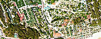
At GrupAirmed we have extensive experience capturing aerial photography, this being the basis for cartography. We have experience in a multitude of sensors, RGB, NIR, Thermal... This information is basic for a multitude of fields, being essential to have georeferenced geographic information.
This type of photography is used as geographic information in general, being used in urban planning, territorial planning, cadastre, forest management, hydrography, coasts, etc.
GrupAirmed adapts to the needs of each project, selecting the most suitable aircraft according to the client's requirements, greatly optimizing the cost.
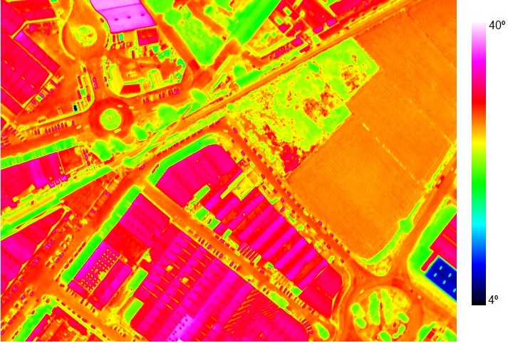 |
Here we present a georeferenced and temperature calibrated thermal orthophoto of geothermal areas. With this information you can quickly observe the hottest and coldest areas. Carry out a study of each building to see if these temperatures correspond and have an explanation or, on the contrary, it is a leak or a bad thermal installation |