")

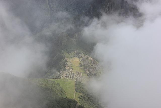
Aerial work for archaeology. Using different airborne systems.
With RGB or Infrared aerial photography at low level, for studies and monitoring of archaeological work.
Archaeological aerial photography is a type of documentary and scientific photography that allows us to process all archaeological sites quickly and optimally from a global perspective, being able to make topographic maps / plans, digital models or filming of each site.
Carrying out surveys and inspections prior to excavations allow better planning of the works, with the documentation of the deposits through the use of high-resolution cameras.
The plane is the most complete and economical system, since it obtains topographic information from several kilometers adjacent to the work area, thus analyzing the entire environment and facilitating the obtaining of conclusions that would not otherwise be reached or discoveries from other archaeological sites.